
Volunteers needed on May 16 @ 9:30 am - 1 pm! Help TU collect important data to monitor the health of Mena Creek, a coldwater tributary to the White River.
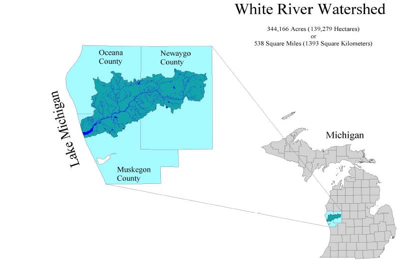
White River
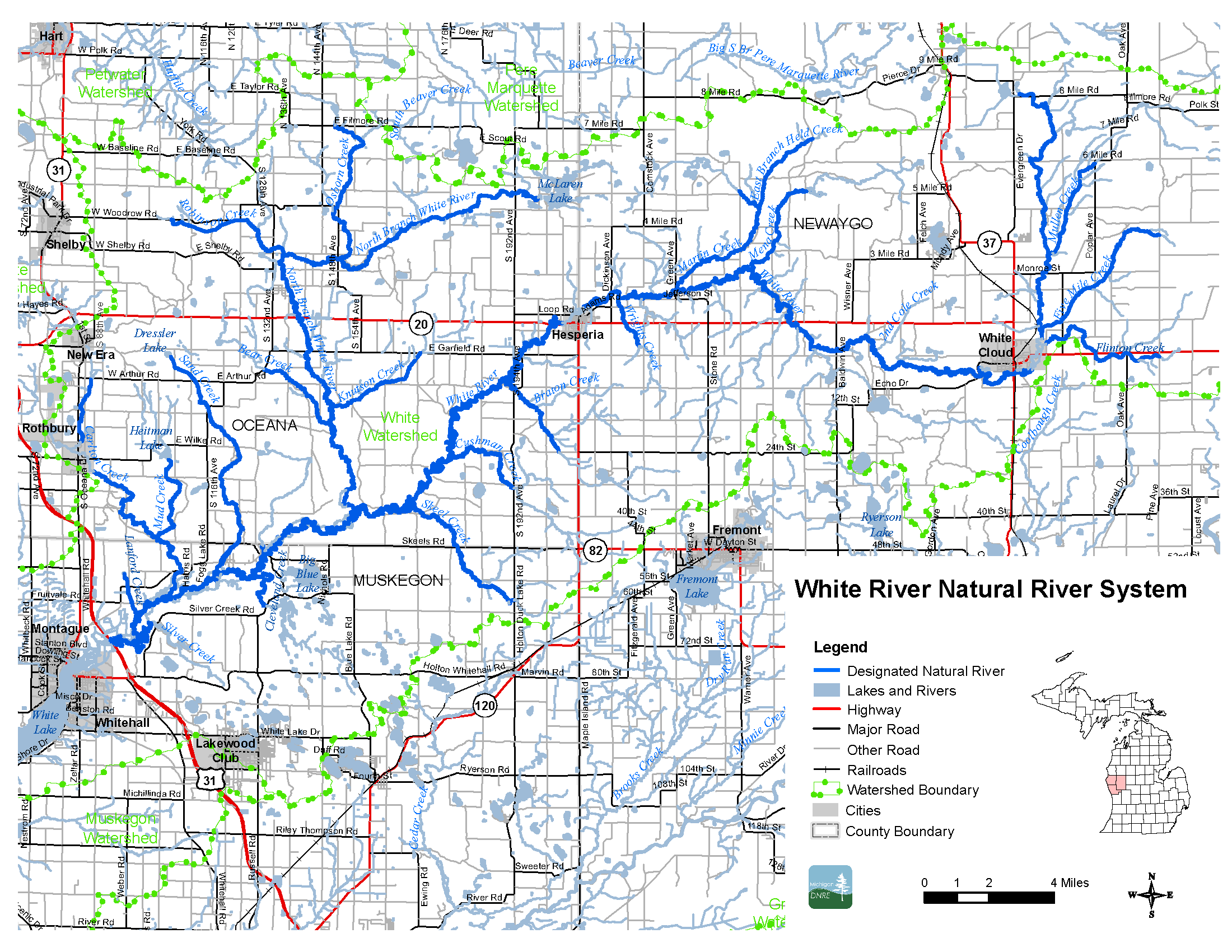
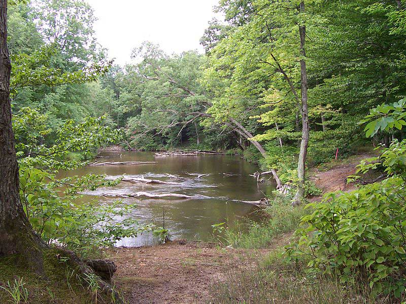
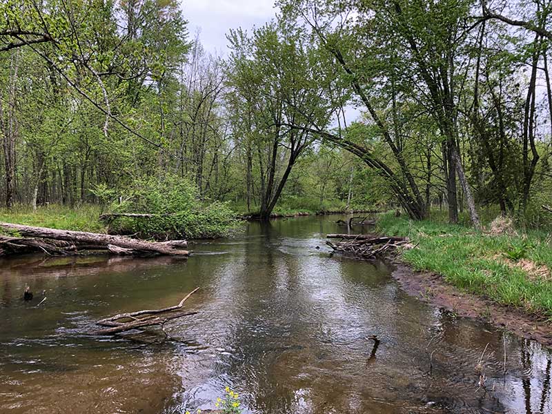
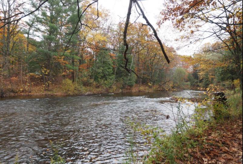
The White River is near the northern boundary of SWMTU’s geographic area of concern. Flowing through Newaygo, Oceana, and Muskegon counties, the river flows into White Lake and then Lake Michigan near Montague. Along its mostly southwest journey the river flows through the towns of White Cloud and Hesperia where dams in each community disrupt its free-flowing state. In its watershed, many very cold creeks feed into the White River. But because of the dams, the temperature of the White River is marginal for a trout fishery.
SWMTU, along with many other community partners, sees great potential in the White River. In many respects, its ecosystem is similar to the Pere Marquette River, winding rapidly through forests and over a good deal of gravel.
Below here, SWMTU has identified some ongoing efforts that are helping to restore, protect, and preserve the White River. We will continue to update this page as information becomes available.
White River Conservation Efforts
White River Watershed Data Application — National TU has created an ever-growing interactive map of the watershed. Using multiple sources, it can show you stream temperatures, flow data, the presence of different trout species, macroinvertebrate ranks, issues with stream crossings, and more. It’s an amazing tool that will help you better understand the river.
Volunteers help in White River River assessment — study by Trout Unlimited National, Jake Lemmon, SWMTU, and White River Watershed council started on July 9th 2019. TUNA identified hot zones for improvements. This event used a new app, TU River app to gather GPS locations for river improvements.
Deploying temperature loggers — US Forest Service Northern Research Station and National TU are teaming up to deploy temperature loggers to collect DNA environmental samples throughout the White River watershed.
Historic baselines — TUNA and USFS are building baselines or adding to current documented history on the White River. Both are searching for improvement locations to focus their efforts.
Stabilizing stream banks — TU and USFS are joining efforts to stabilize stream banks.
Improved river access — TU and USFS are working together to improve access at Diamond Point Recreation area. This access is located just up river from where Fruitvale Rd crosses the White River.
White River Watershed Collaborative — TUNA, TU MI, White River Watershed Partnership, and Fremont Area Community Foundation have teamed up to create the White River Watershed Collaborative to build a database through the entire watershed with a group of 49 partners from public, community non-profits, local and state governments. All partners have the desire/goal to build a workable plan to address White River water temperatures, water quality for a sustainable fishery, and economic impact for both communities and fishery departments. A really good overview of this effort was written up by Jacob Lemon in the Summer 2021 issue of Michigan Trout which you can read here. In February 2021, the first meeting of the group was held to get input, ideas, and direction from stakeholders. You can read the results of that meeting here.
Tree planting — The Home Rivers Initiative is planting hundreds of trees in the summer of 2021 along the banks of White River to improve bank stabilization and add canopy to shade water from sun.
-
-
-
-
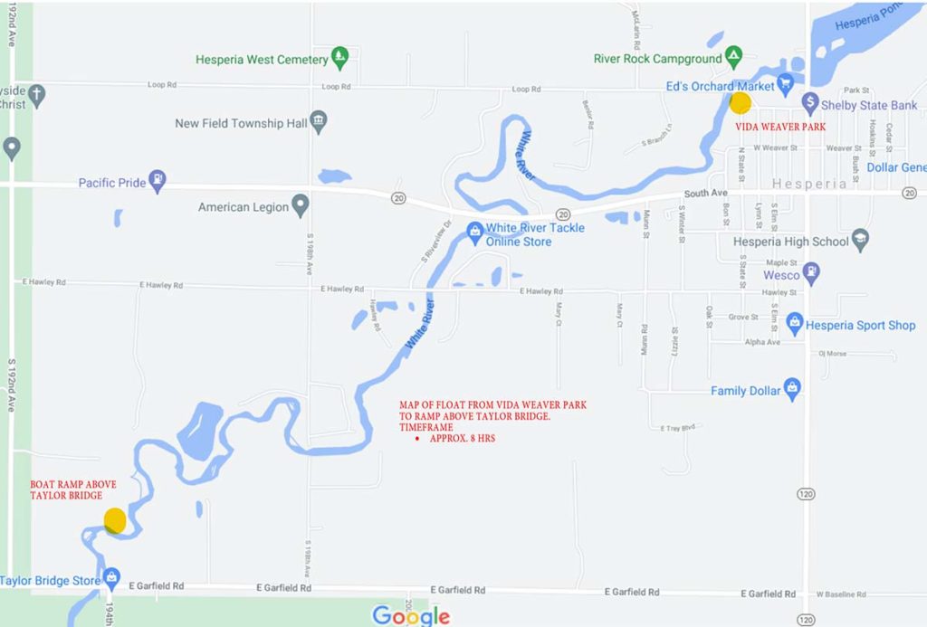
White River: Float from Vida Weaver Park to ramp above Taylor Bridge -
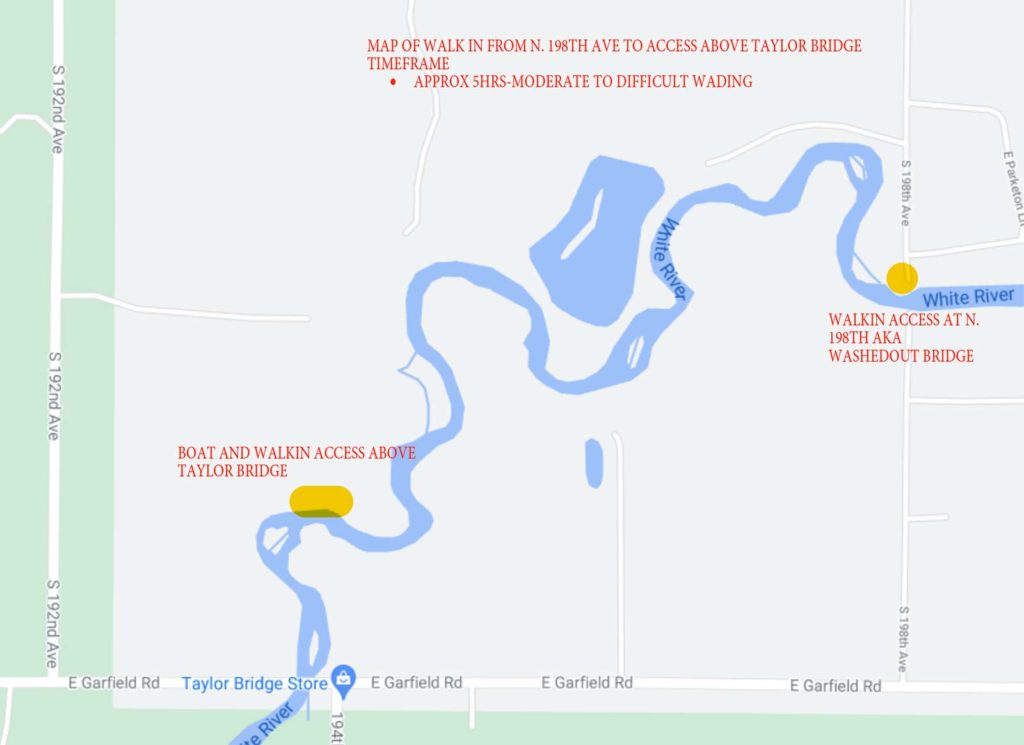
White River: Walk-in access from 198th Ave to access above Taylor Bridge -
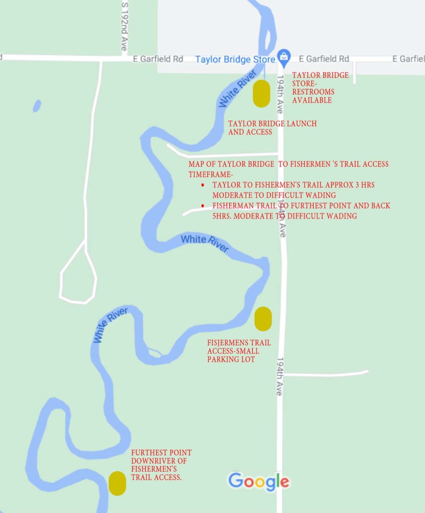
White River: Walk-in access from Taylor Bridge to Fisherman’s Trail -
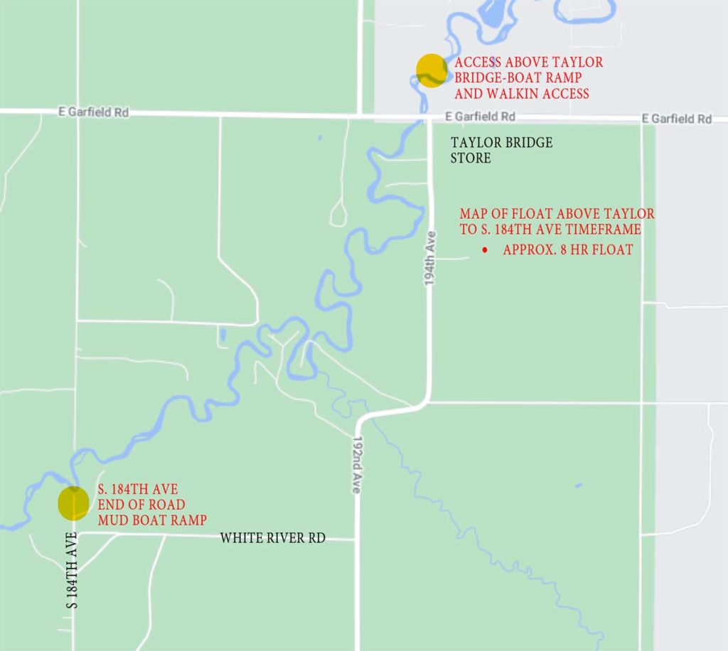
White River: Float above Taylor Bridge to S 184th Ave
Reports on White River

2022 White River Watershed Collaborative Highlights
This collaboration of organizations and people worked together to engage the watershed’s community to empower new and existing river stewards.

Volunteers needed for White River Cleanup
Schrems West Michigan Trout Unlimited and the White River Watershed Collaborative will host a stream cleanup event on Saturday, September 24, 2022.

White River cleanup set for May 14
Please register for this important cleanup on the White River.

Webinar: Update on White River watershed
In this webinar, TU's Jake Lemon shows us the data available on the White River, and where the gaps are. TU is tracking things like water temperature, stream crossings, and woody debris.

White River webinar on March 16
SWMTU and national Trout Unlimited in Michigan are placing extra focus on the White River. That means coordinating stakeholders, conducting monitoring efforts, and implementing projects in the watershed.